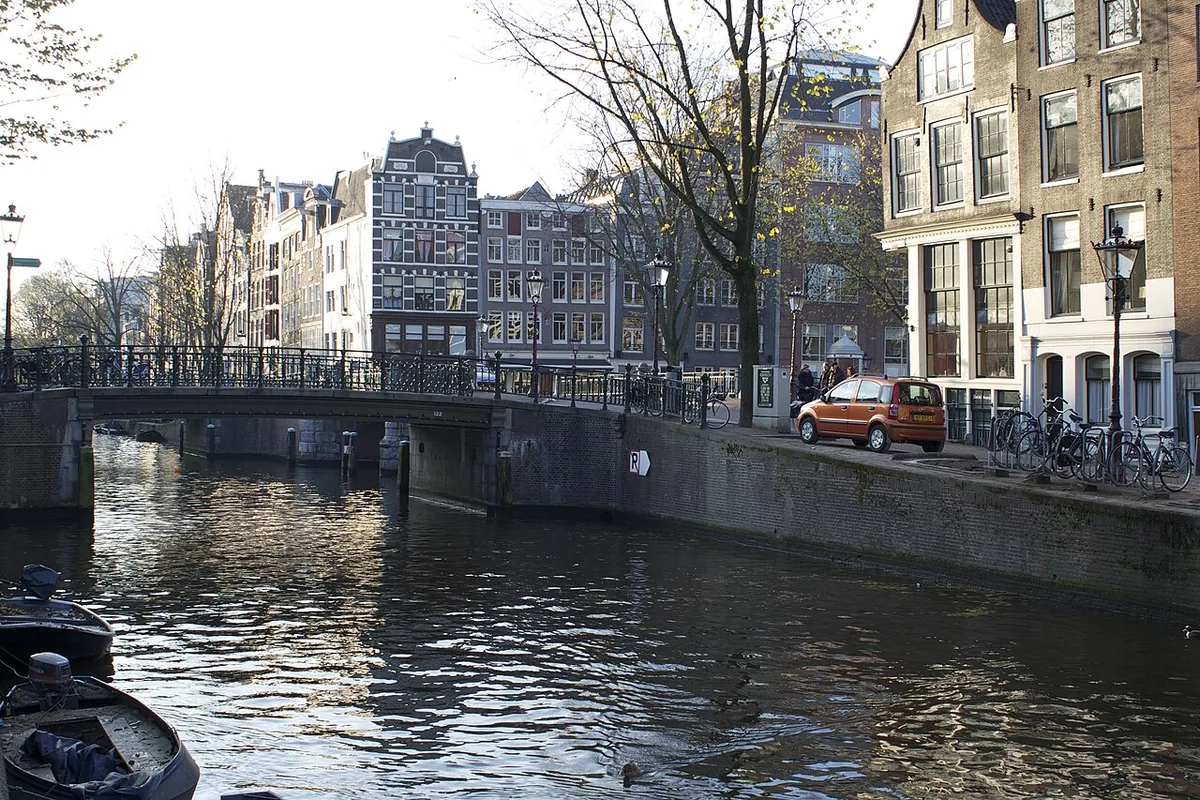
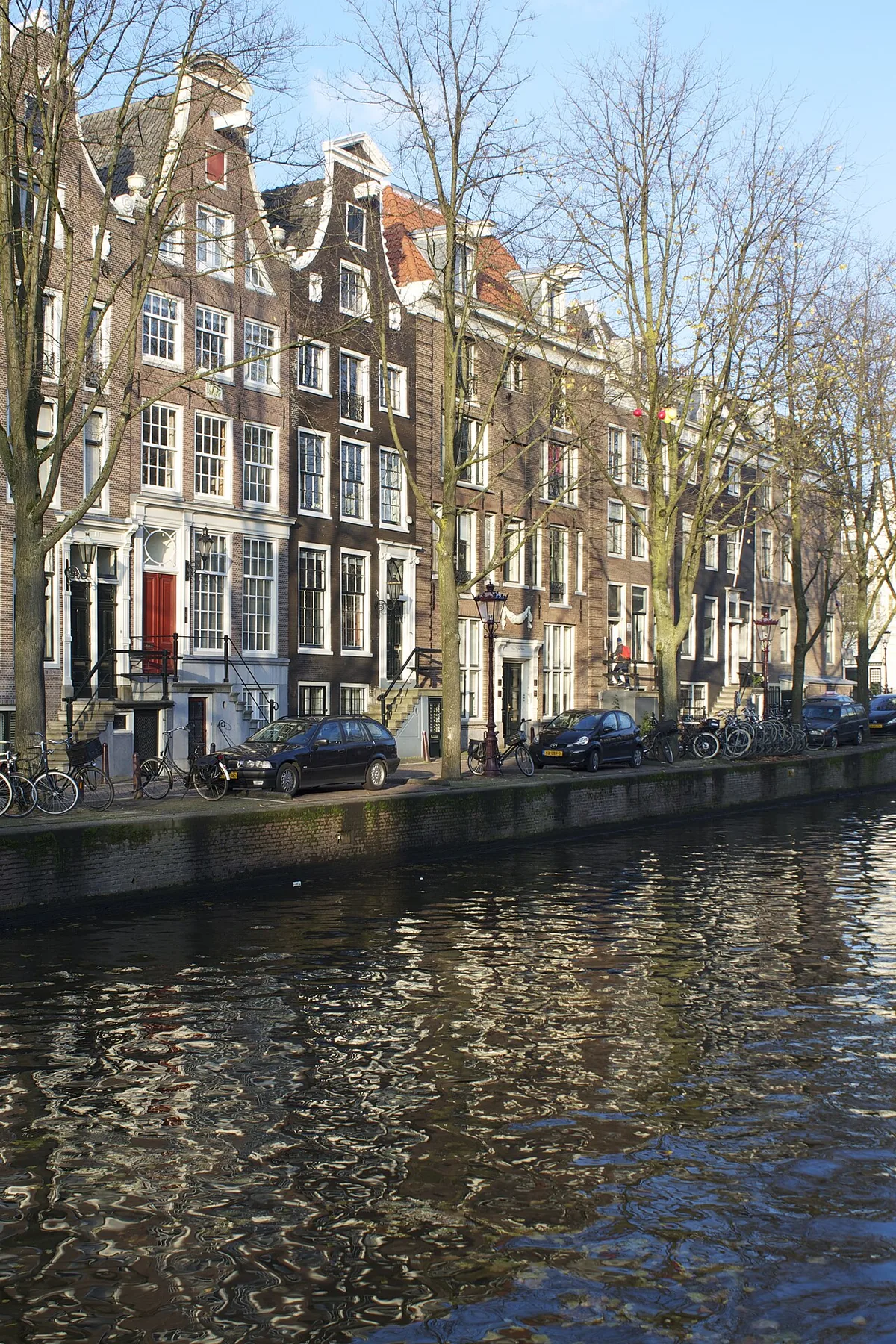
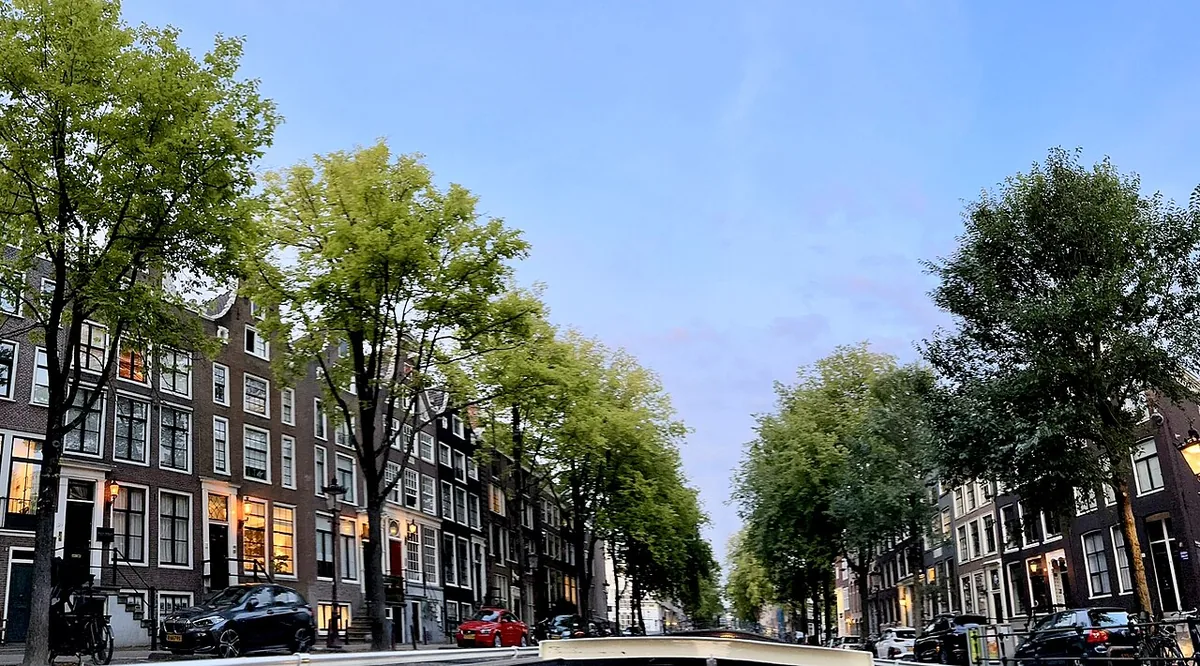
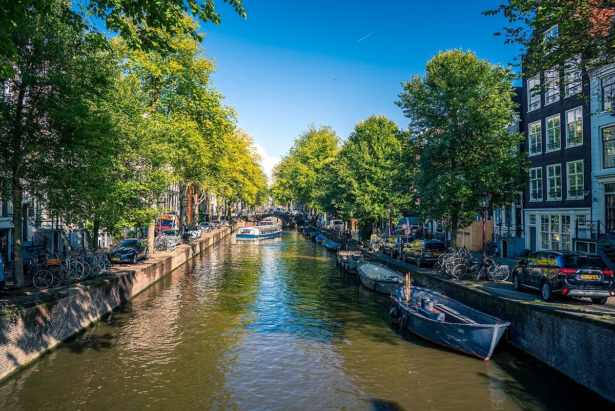
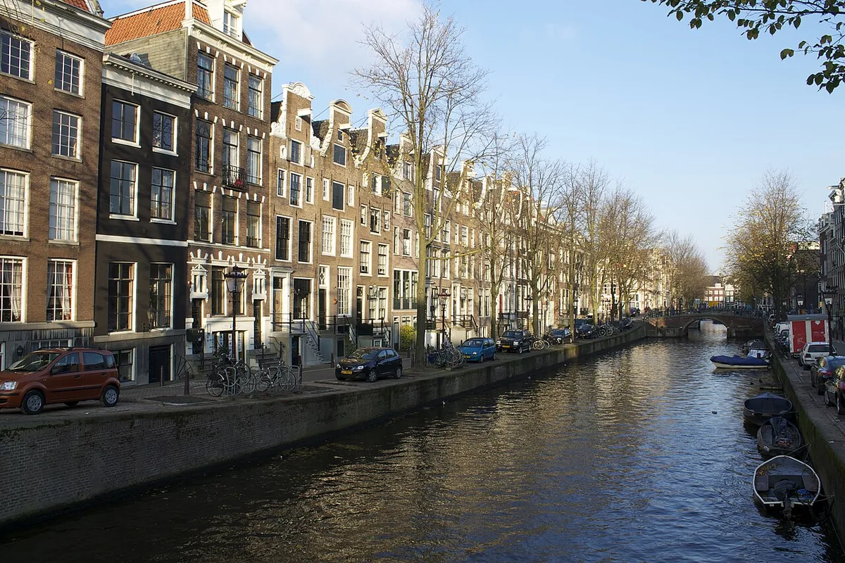
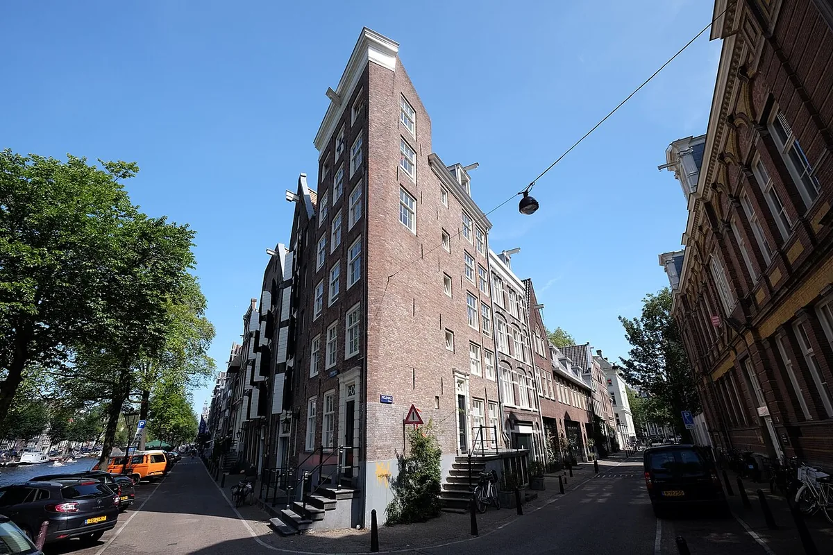
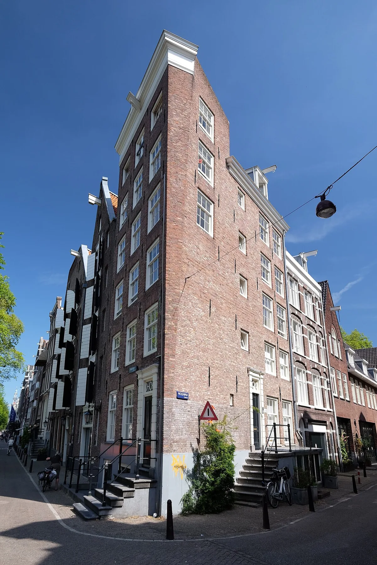
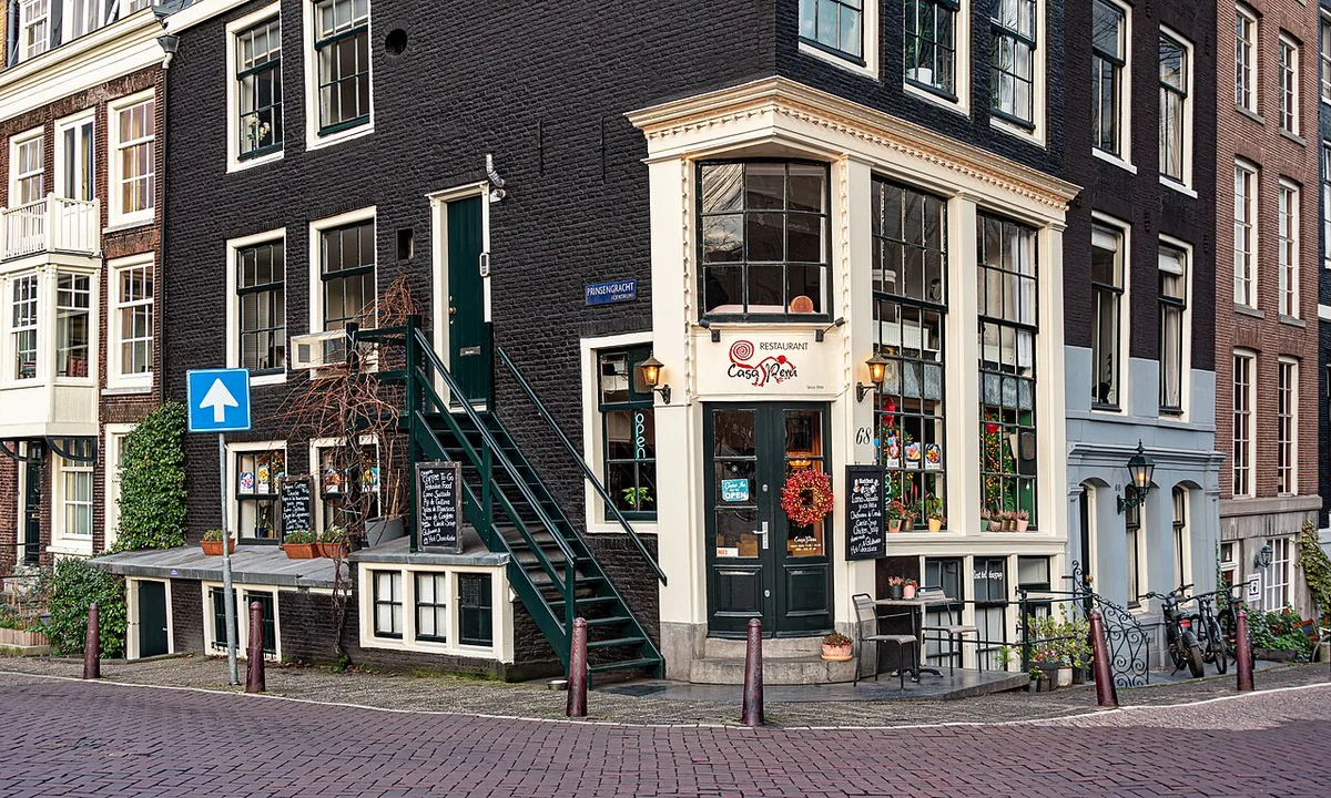
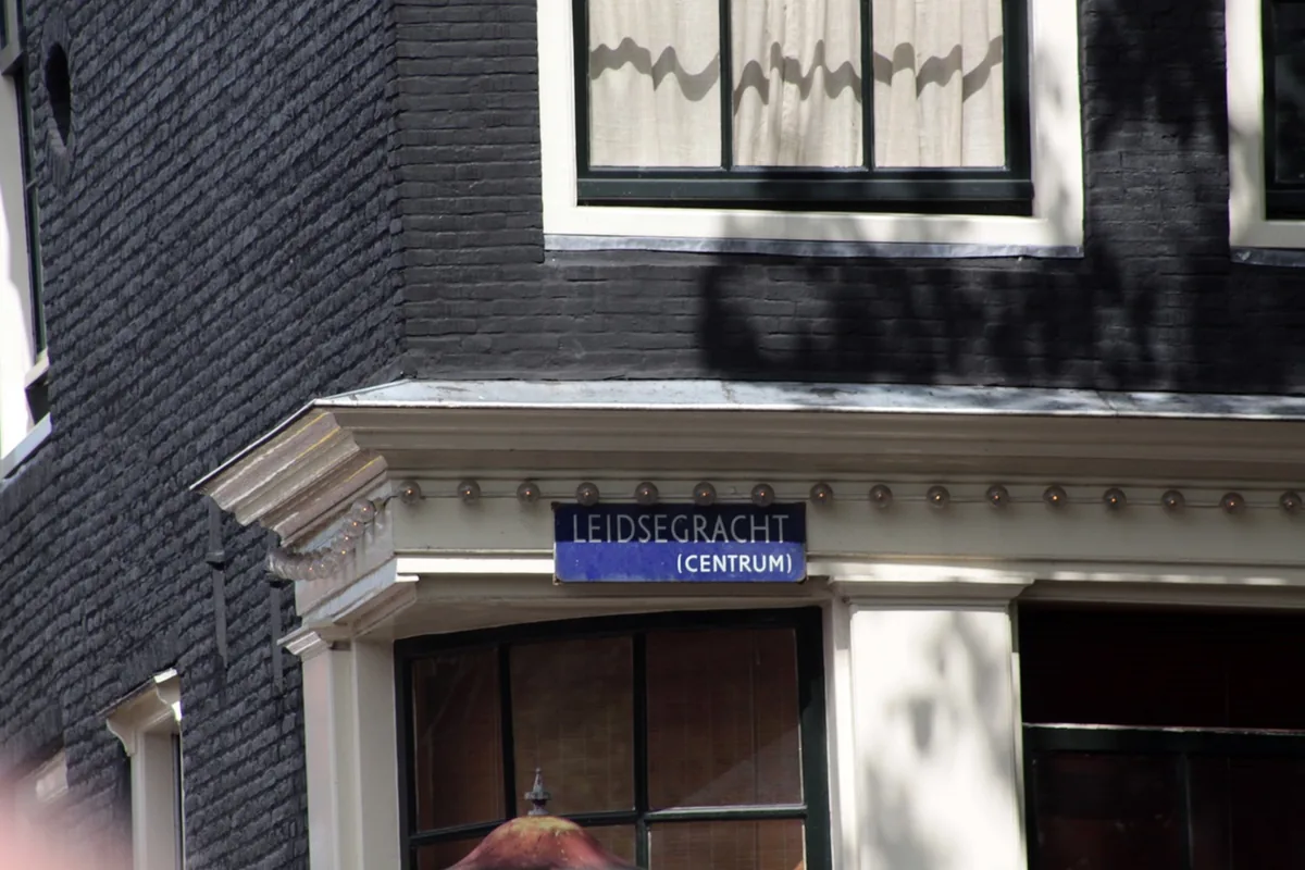
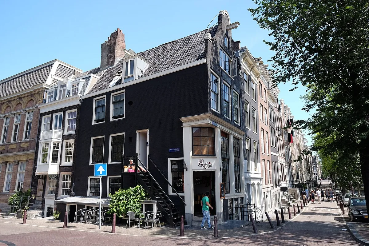
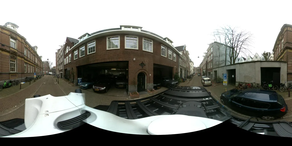
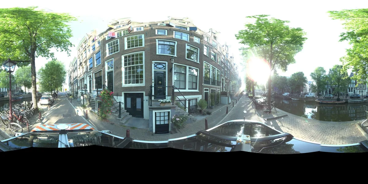
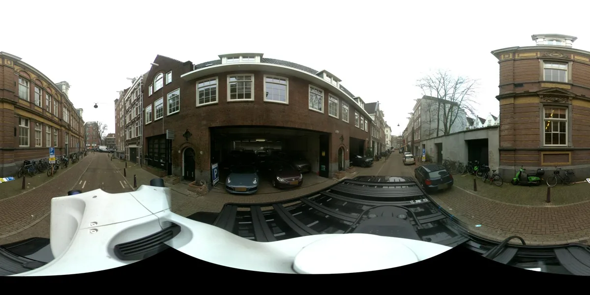
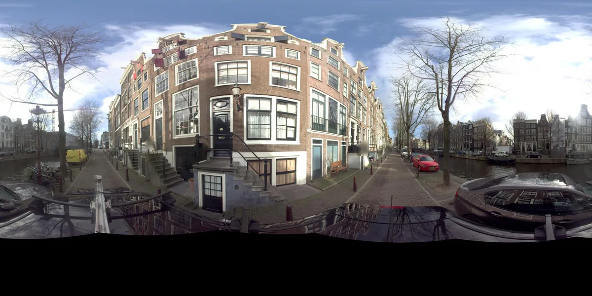
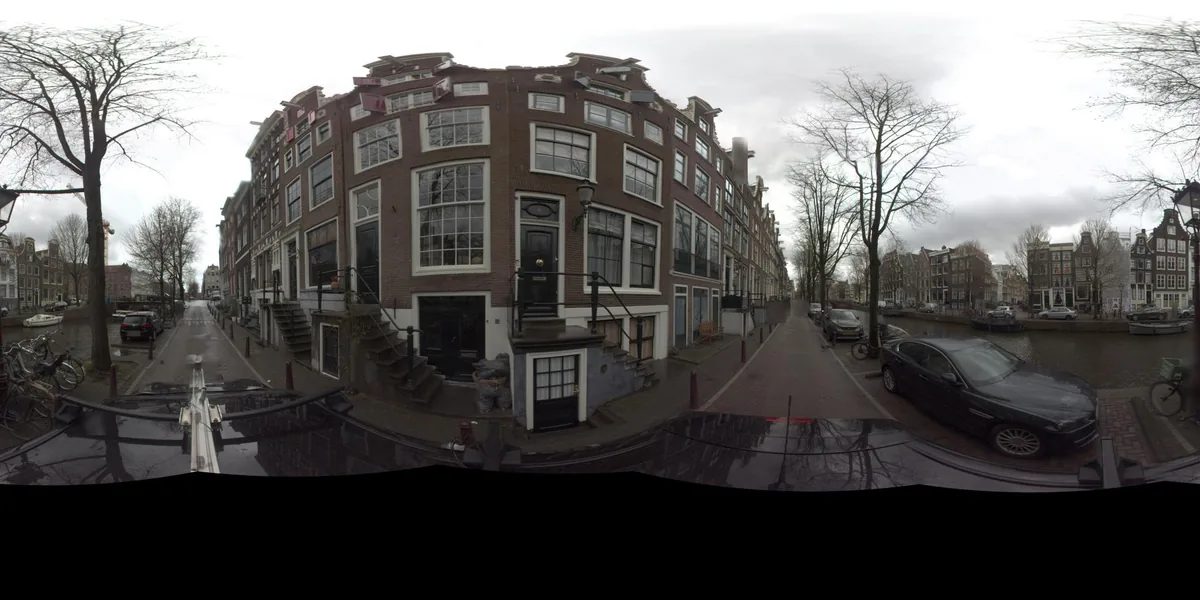
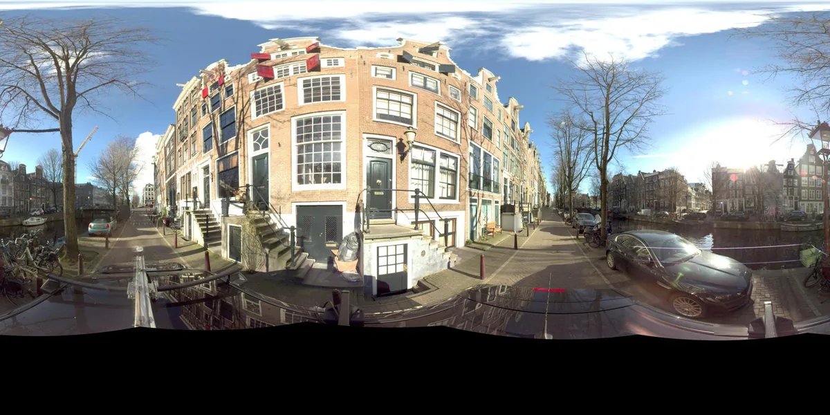
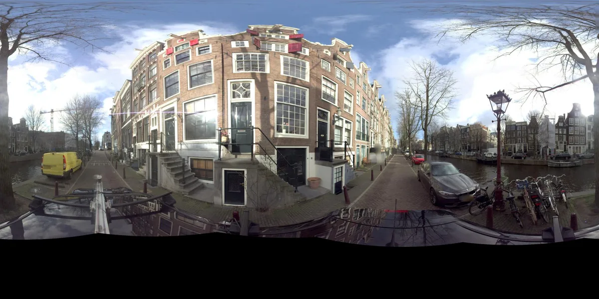
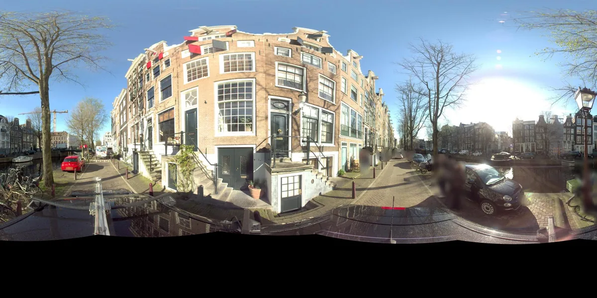
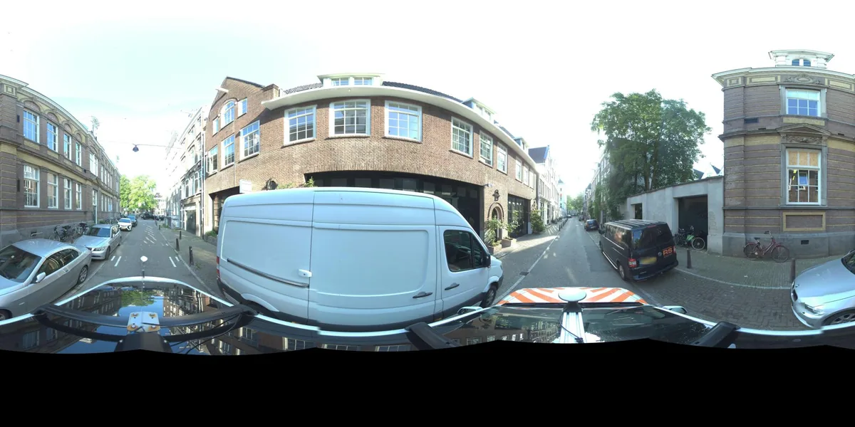
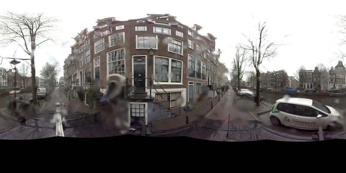
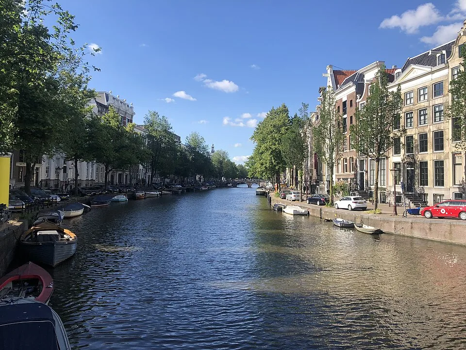
Amsterdam’s Grachtengordel is a seventeenth-century urban expansion built in stages around the older center. Read its canals, cross streets, bridges, and canal houses as one working city plan, while remembering that the UNESCO-listed area inside the Singelgracht is only a defined part of this broad district.
Quick facts
Amsterdam’s seventeenth-century canal expansion began in 1613 and proceeded in phases, with the eastern extension continuing after 1656.
The UNESCO-listed Seventeenth-Century Canal Ring Area inside the Singelgracht covers 198.2 hectares; its broader buffer zone covers 481.7 hectares.
Kerkstraat served as a service street behind canal houses; a gable stone at Kerkstraat 76 depicts a peat carrier bringing fuel by boat from the Vinkeveen lakes.
Get directions to Canal Ring (Grachtengordel). Confirm the visitor entrance and current access with the venue before travelling.
Audio guide
Listen to this place’s guide.
Guide
Amsterdam’s canal ring is easiest to read as a piece of civic engineering that became a neighborhood. In the early seventeenth century, a fast-growing trading city needed room for people, workshops, port activity, and defense. From 1613, the city extended west and south of its older center by digging canals, raising the wet ground between them, and adding streets, quays, bridges, and new fortifications.
Continue exploring
Discover the full story
Keep reading with a travel pass and explore every full guide and tour.
UpgradeMore places in Amsterdam
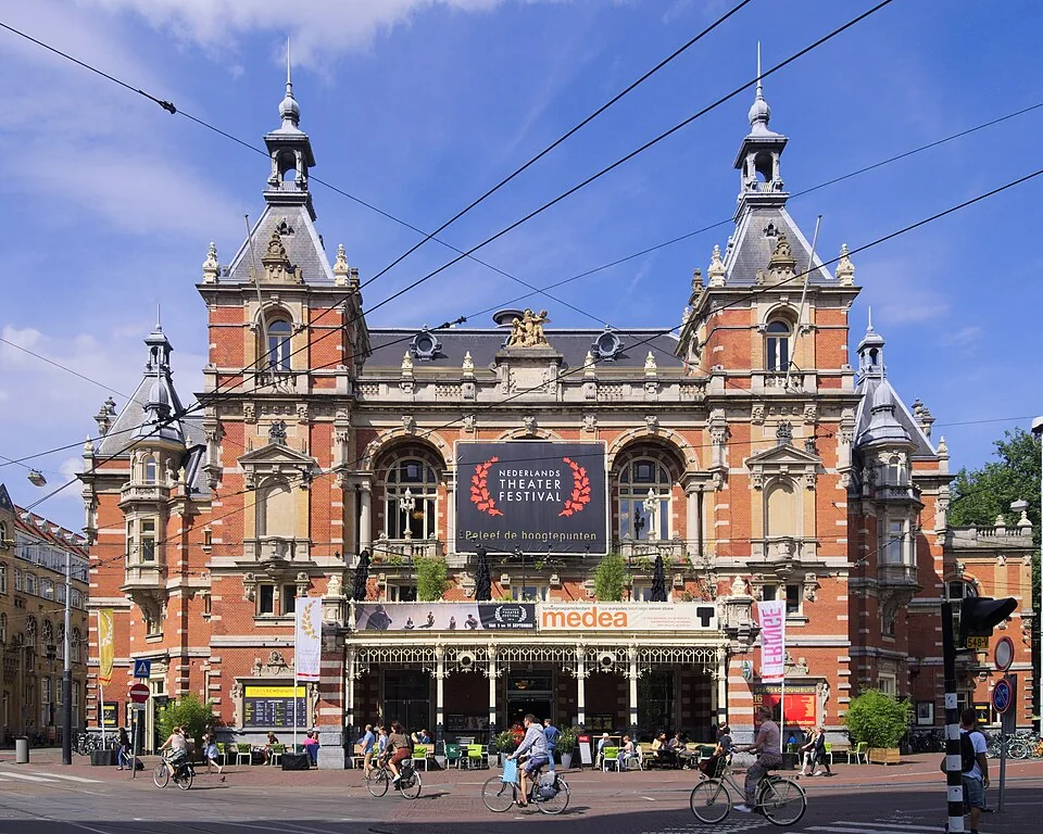
Leidseplein
Named for the former gate on the road to Leiden, Leidseplein grew from a wagon and carriage forecourt into a transport and entertainment hub. Its theatre, tram stop, hidden canal and redesigned Kleine-Gartmanplantsoen show how the square keeps adapting.
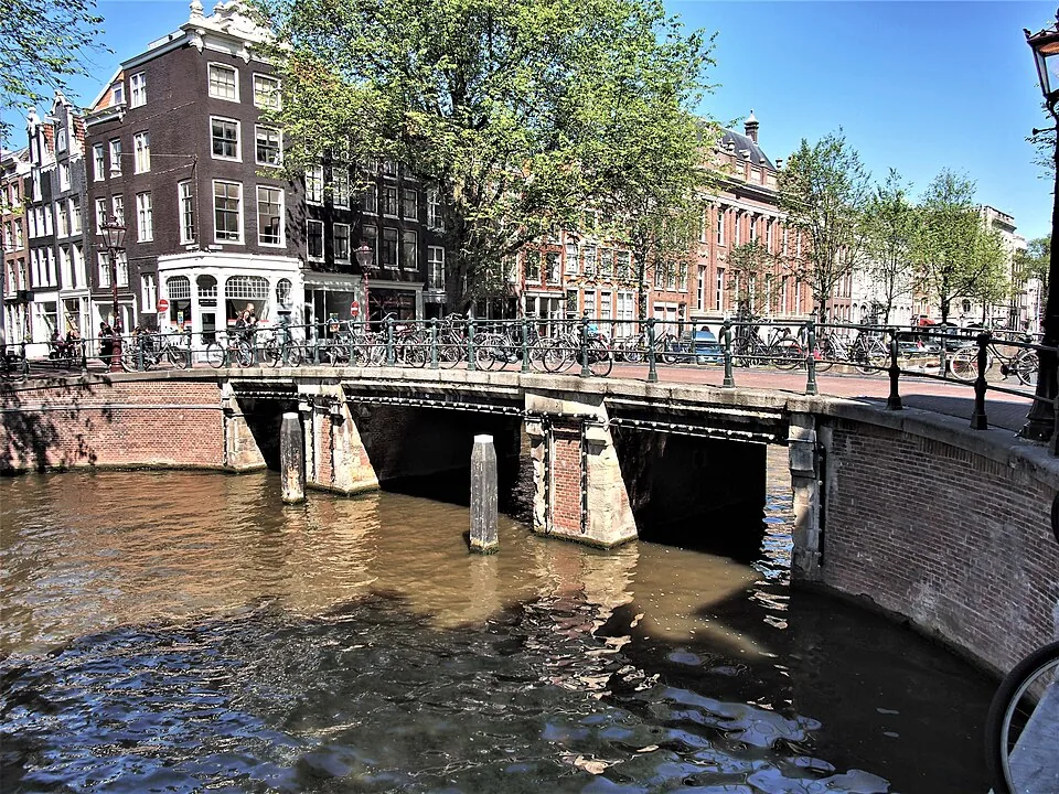
De Negen Straatjes
De Negen Straatjes is a named group of nine cross streets in Amsterdam’s canal belt, between the Singel, Herengracht, Keizersgracht and Prinsengracht. Their small plots once housed trades serving canal residents; today the historic street pattern frames a changing mix of shops, cafés and homes.
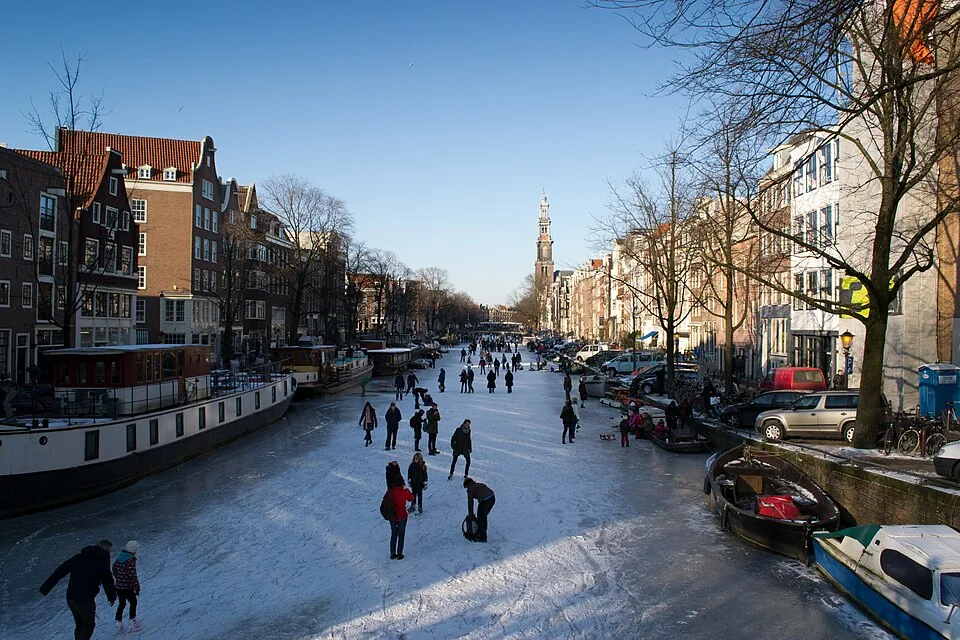
Prinsengracht
Prinsengracht, Amsterdam’s outermost principal canal on the west side of the Amstel, grew from a seventeenth-century city expansion into a working waterway lined with warehouses and homes. Its bridges and dense plots reveal how trade, transport, and everyday life shaped the canal belt.
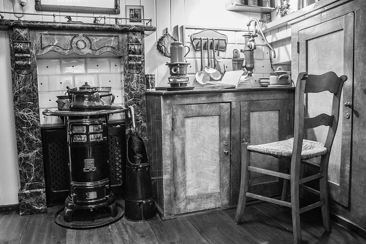
Houseboat Museum
A visit to the Houseboat Museum takes you aboard the Hendrika Maria, a 1914 cargo vessel moored on Amsterdam’s Prinsengracht. Its converted hold makes floating domestic life tangible, while the boat’s story opens onto a wider history of housing pressure, changing freight, and residents claiming spac
Keizersgracht
Keizersgracht is the middle canal of Amsterdam’s three principal seventeenth-century canal arcs. Begun in 1615 and extended in phases, it links the city’s water-management plan, merchant landscape and living historic centre.
Amsterdam Museum
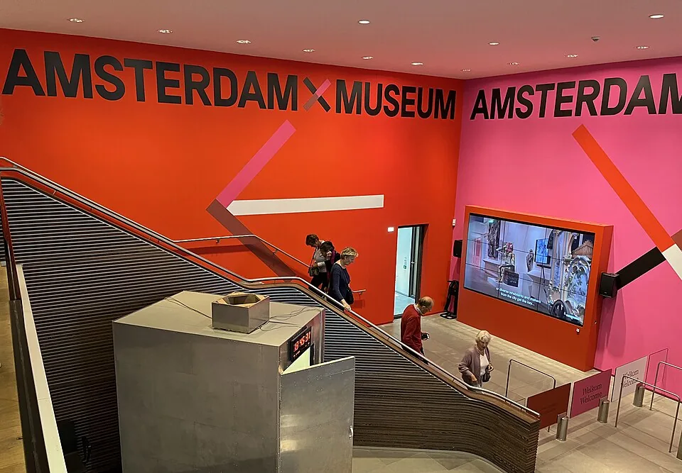
The Amsterdam Museum’s historic home occupies the former Burgerweeshuis, a centuries-old complex shaped by a convent, an orphanage and the city museum. Its courtyards and façades preserve that changing civic story; the Kalverstraat site is currently closed during renovation.