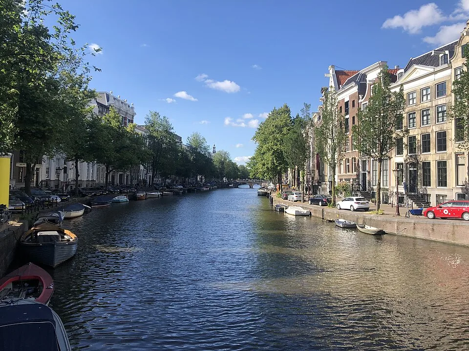
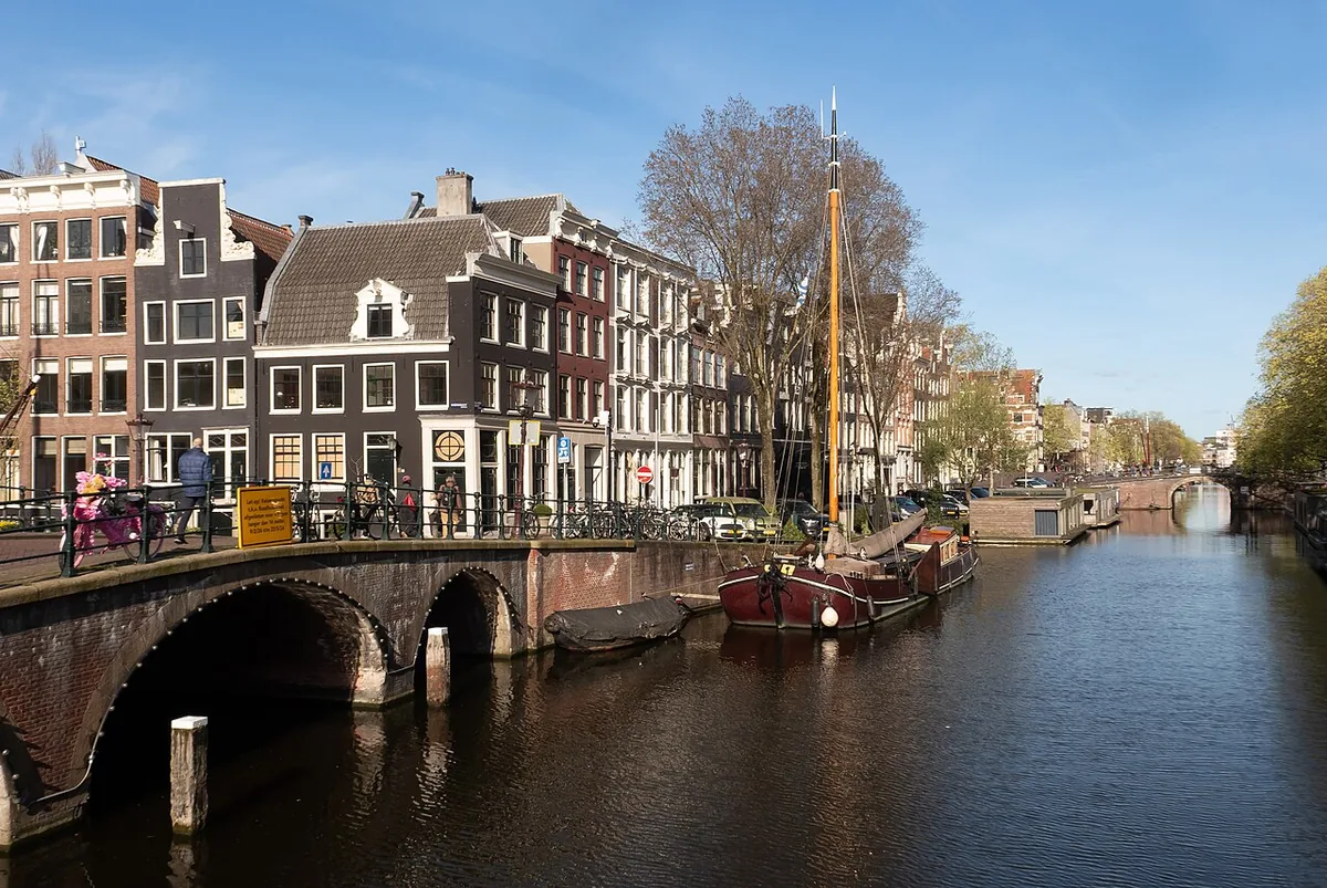
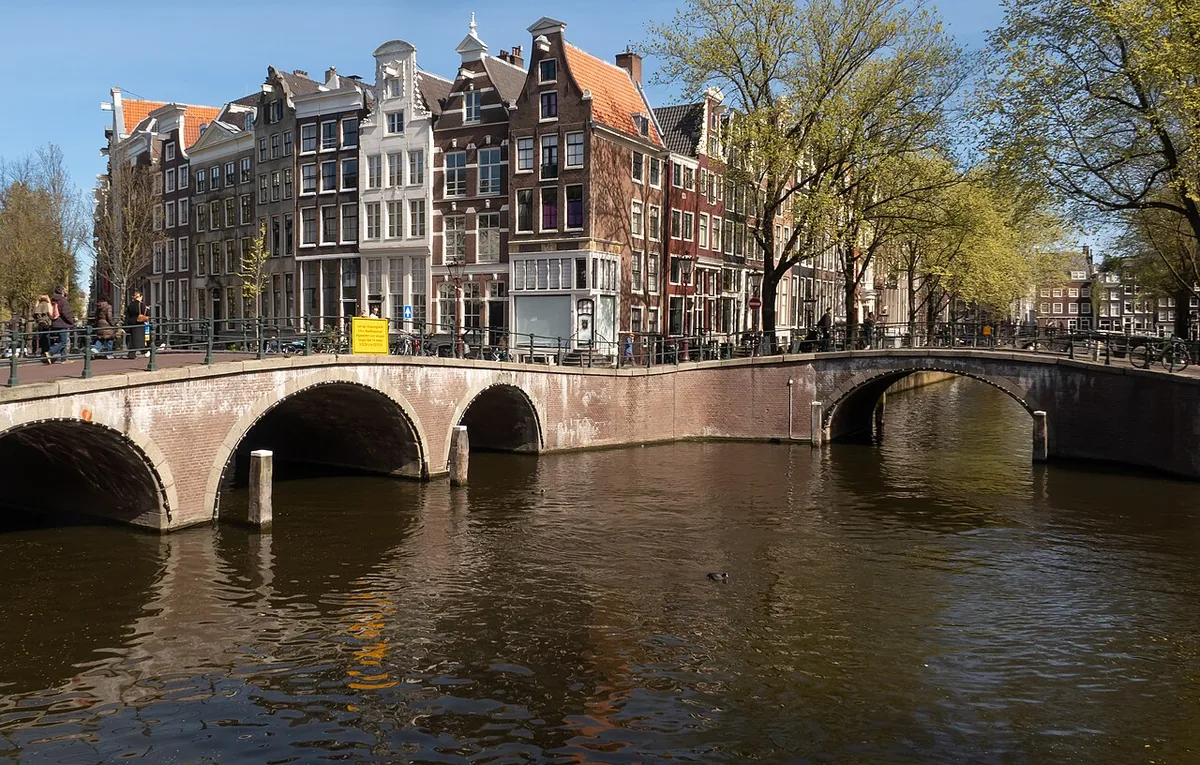
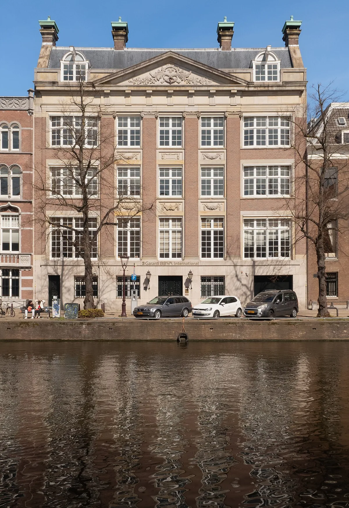
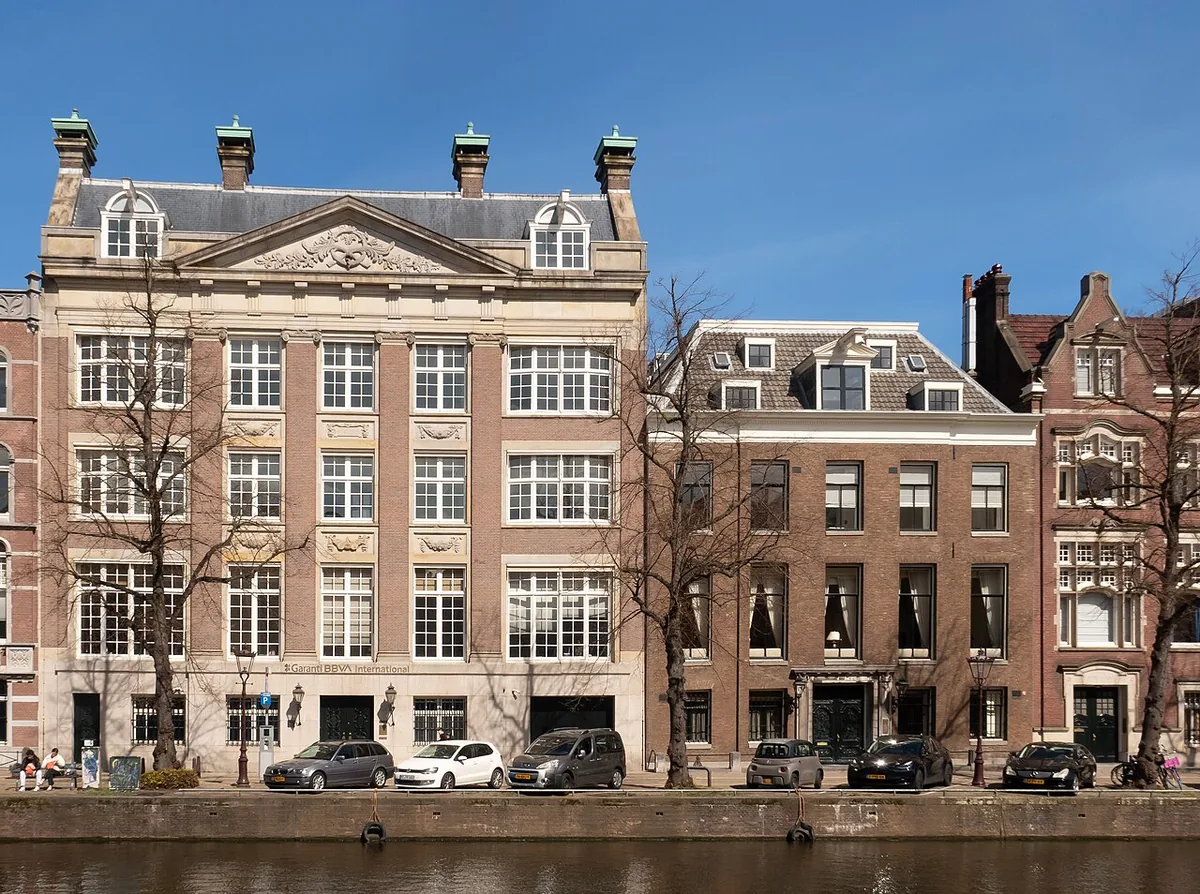
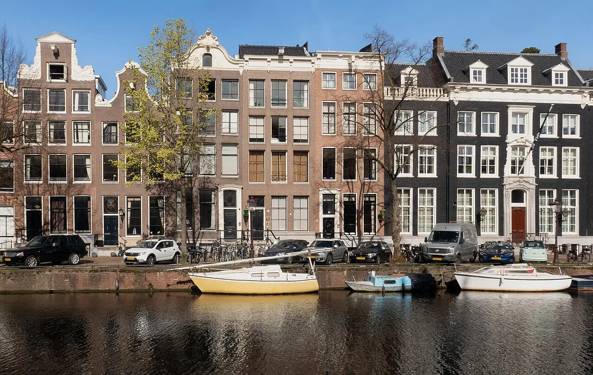
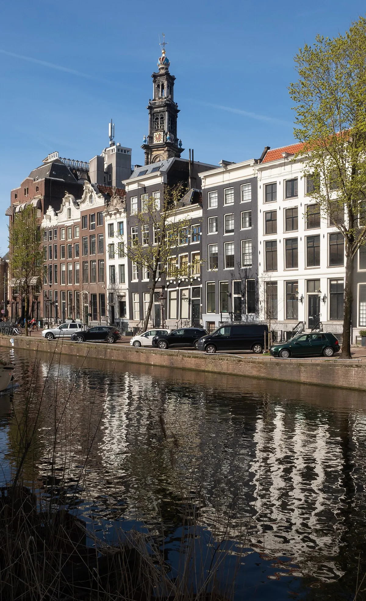
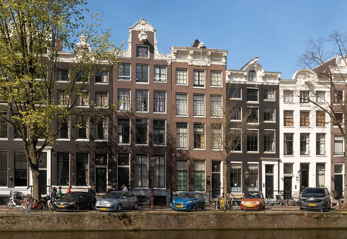
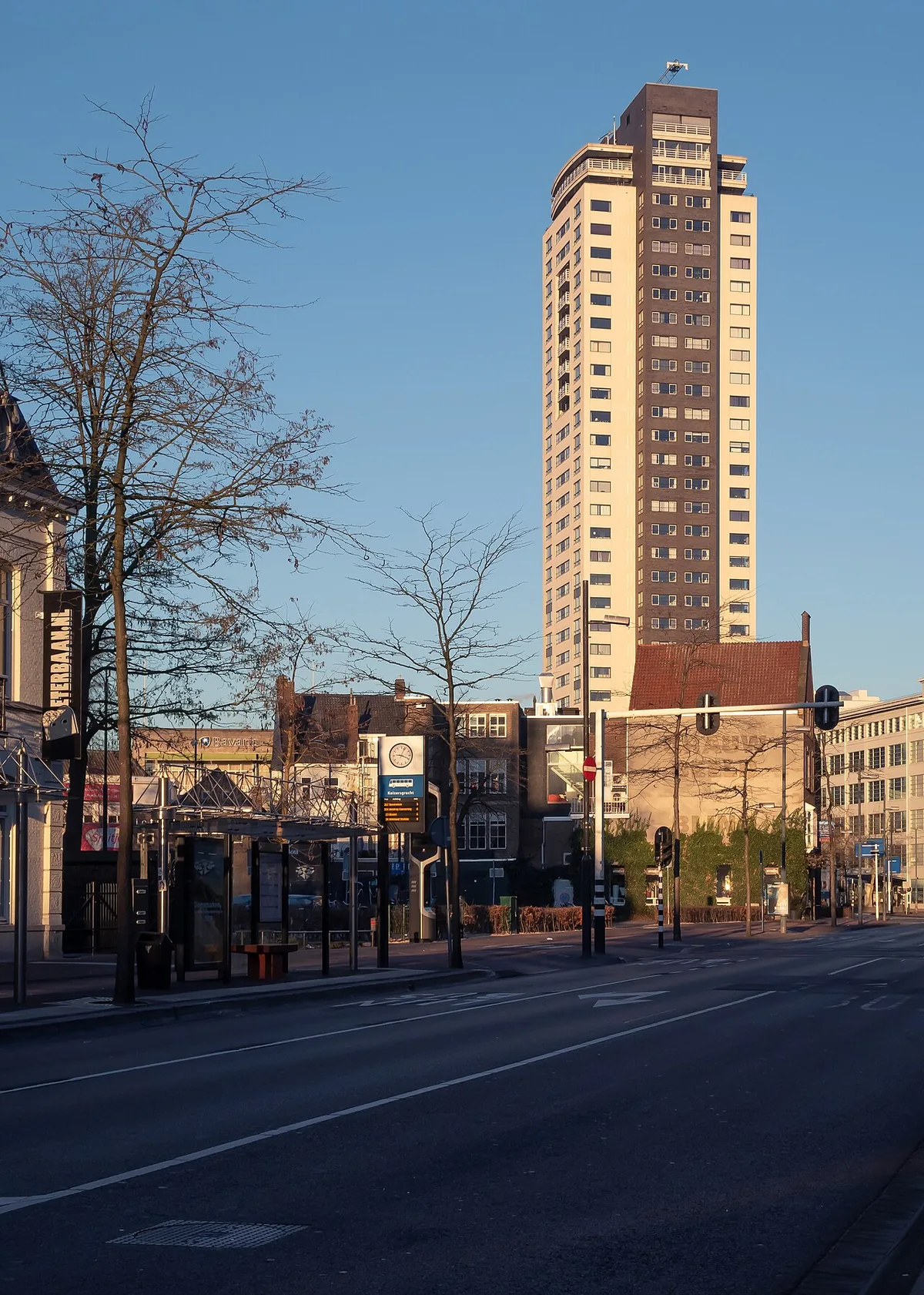
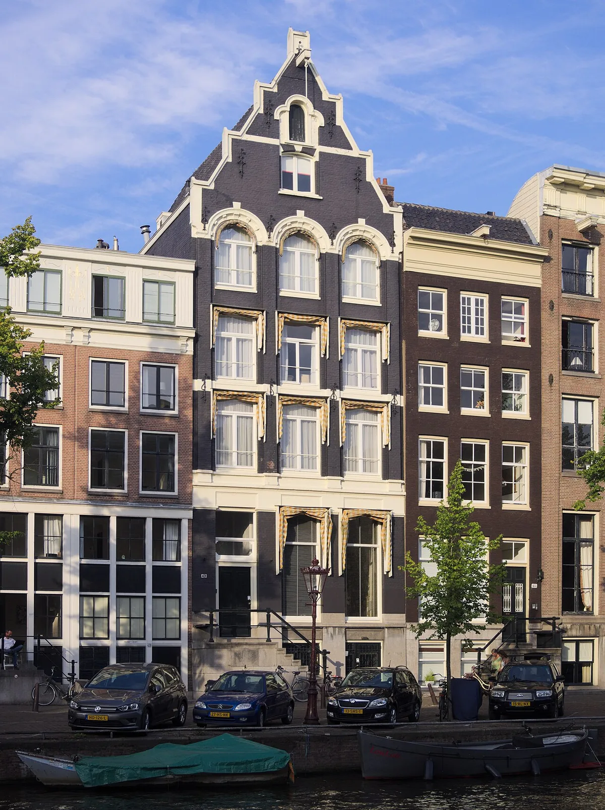
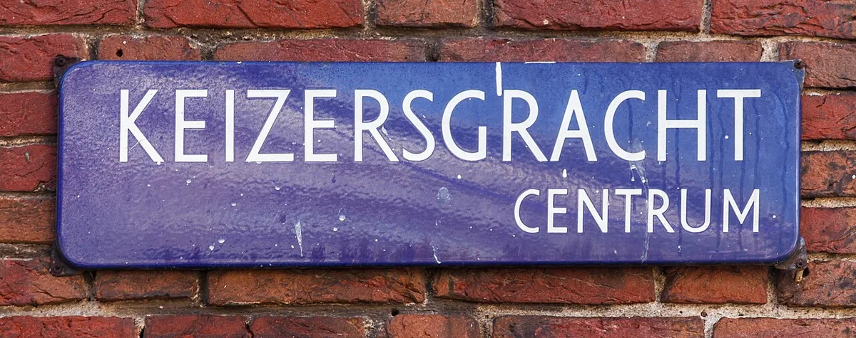
Keizersgracht is the middle canal of Amsterdam’s three principal seventeenth-century canal arcs. Begun in 1615 and extended in phases, it links the city’s water-management plan, merchant landscape and living historic centre.
Quick facts
Excavation of Keizersgracht began in 1615 as part of Amsterdam’s major seventeenth-century expansion.
The canal’s name honors Emperor Maximilian, who granted Amsterdam the privilege to use an imperial crown in its arms in 1489.
The nearby Westerkerk was designed by Hendrick de Keyser and built between 1620 and 1638 at the bend between Keizersgracht and Prinsengracht.
Get directions to Keizersgracht. Confirm the visitor entrance and current access with the venue before travelling.
Audio guide
Listen to this place’s guide.
Guide
Keizersgracht is the middle of Amsterdam’s three principal canal arcs, between the Herengracht and Prinsengracht. Keizersgracht runs through Amsterdam municipality’s central canal district. A map-pin note: the assigned catalog coordinates reverse-geocode to a bicycle-parking point on nearby Herengracht, not to the Keizersgracht waterway. The UUID and pin are retained in the research record, but visitors should use the place name or a verified map location.
Continue exploring
Discover the full story
Keep reading with a travel pass and explore every full guide and tour.
UpgradeMore places in Amsterdam
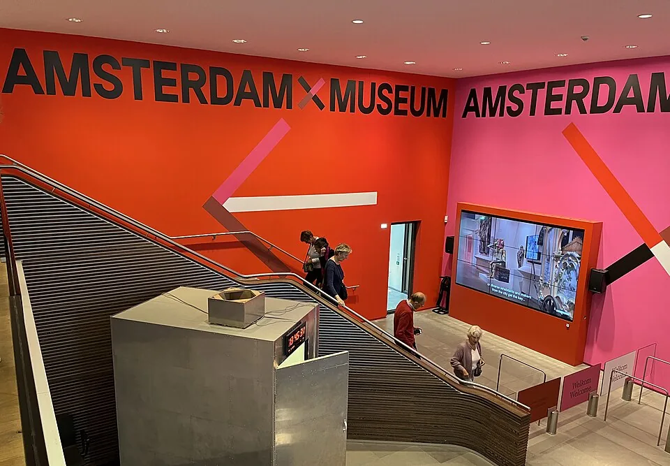
Amsterdam Museum
The Amsterdam Museum’s historic home occupies the former Burgerweeshuis, a centuries-old complex shaped by a convent, an orphanage and the city museum. Its courtyards and façades preserve that changing civic story; the Kalverstraat site is currently closed during renovation.
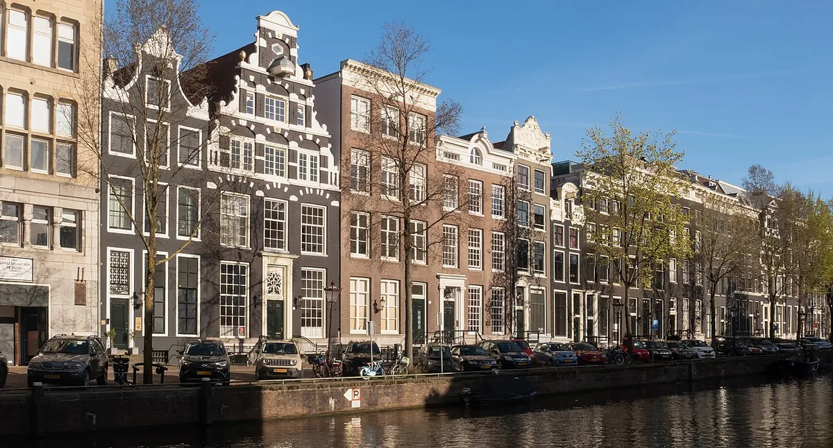
Herengracht
Herengracht is one of Amsterdam’s principal seventeenth-century canals, where a carefully planned waterway became a prestigious address. Its Golden Bend gathers broad, double-plot mansions, but the canal’s quays also reveal the labor, trade and urban engineering behind that display.
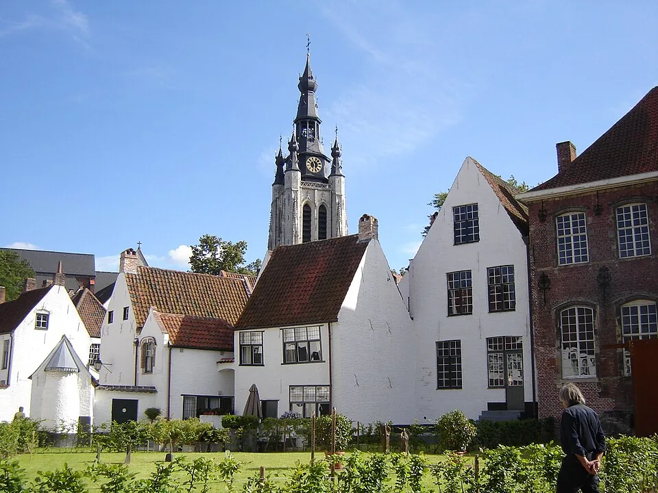
Begijnhof
Amsterdam’s medieval Begijnhof was a community of Catholic laywomen who lived and worked together without being cloistered nuns. Its uneven courtyard, rare timber-framed Wooden House, former English church, and still-active Catholic chapel record centuries of changing worship and residential life.
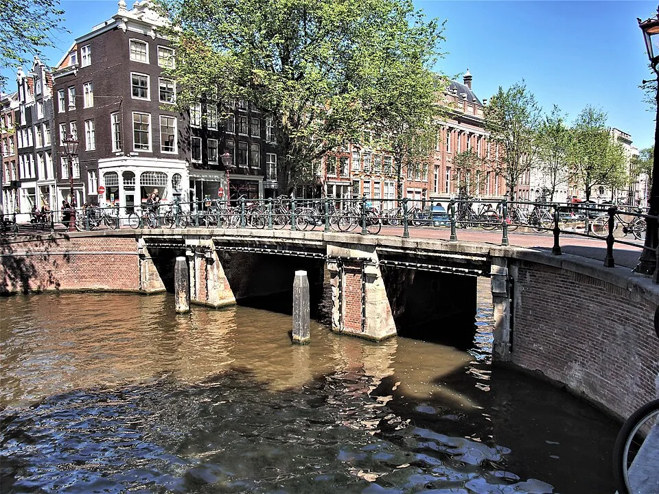
De Negen Straatjes
De Negen Straatjes is a named group of nine cross streets in Amsterdam’s canal belt, between the Singel, Herengracht, Keizersgracht and Prinsengracht. Their small plots once housed trades serving canal residents; today the historic street pattern frames a changing mix of shops, cafés and homes.
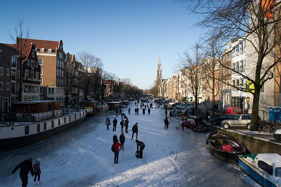
Prinsengracht
Prinsengracht, Amsterdam’s outermost principal canal on the west side of the Amstel, grew from a seventeenth-century city expansion into a working waterway lined with warehouses and homes. Its bridges and dense plots reveal how trade, transport, and everyday life shaped the canal belt.
Spui
Spui occupies the line of an old sluice channel that marked Amsterdam’s southern edge around 1425. Filled between 1867 and 1882, the waterway became a tram junction and later a stage for Provo gatherings around Het Lieverdje.