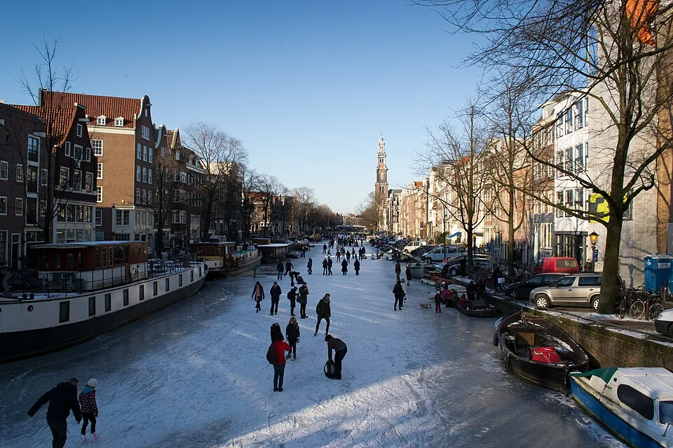
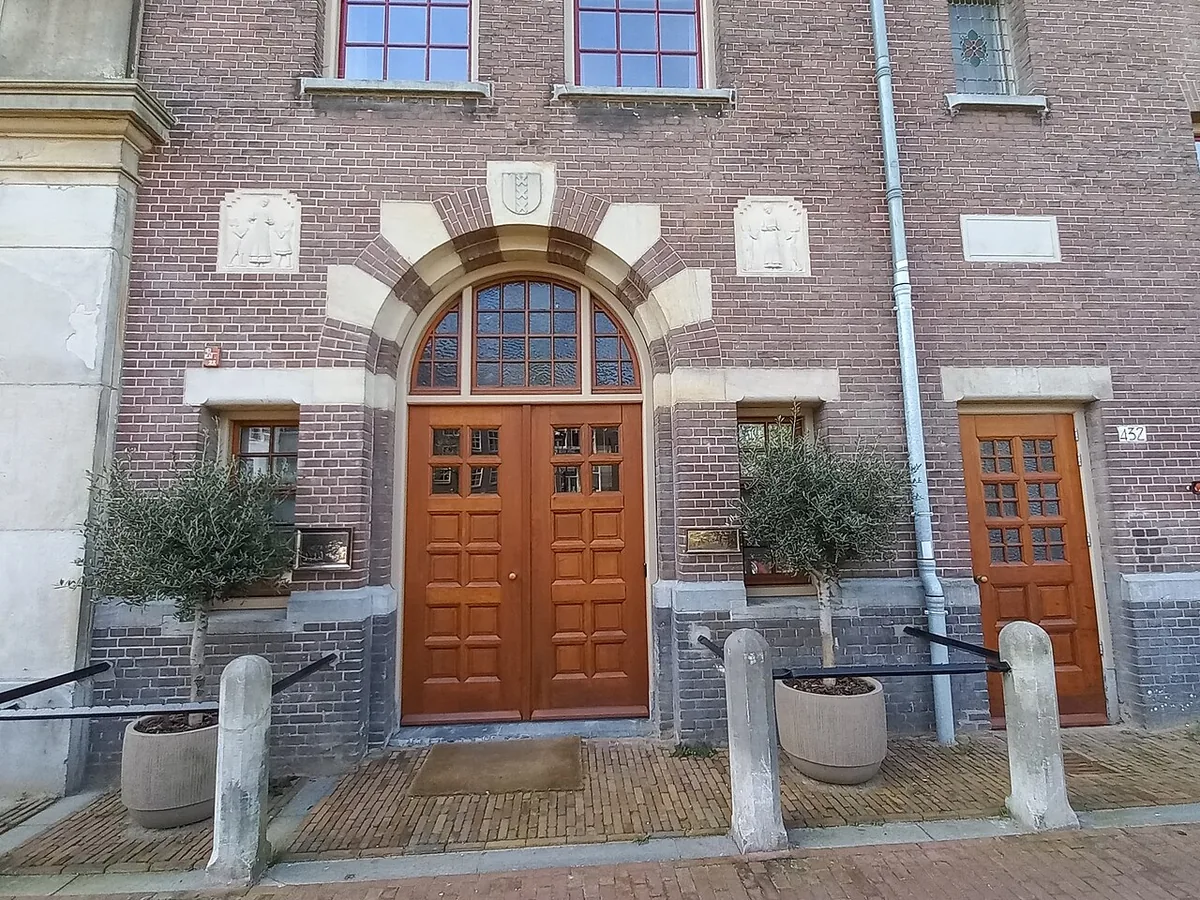
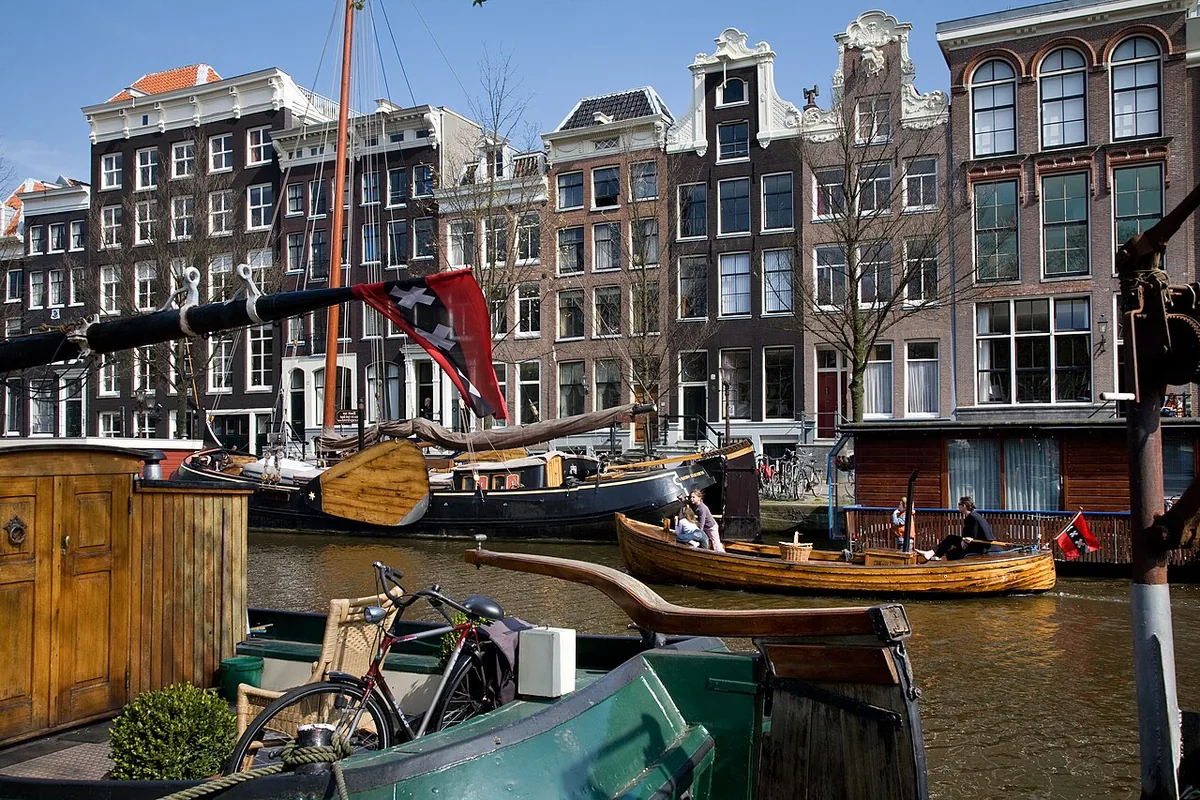
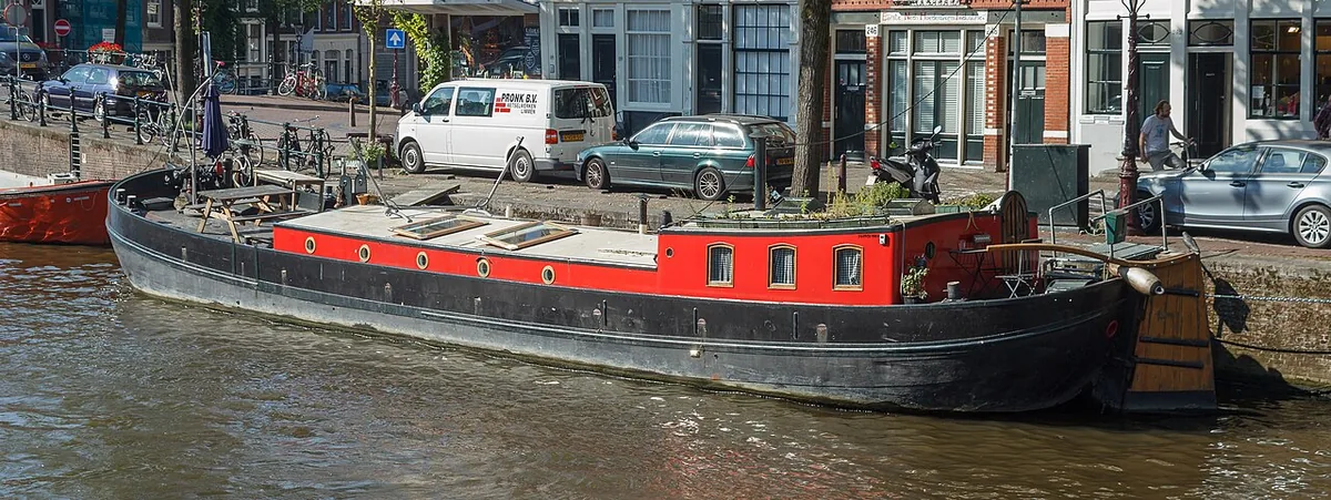
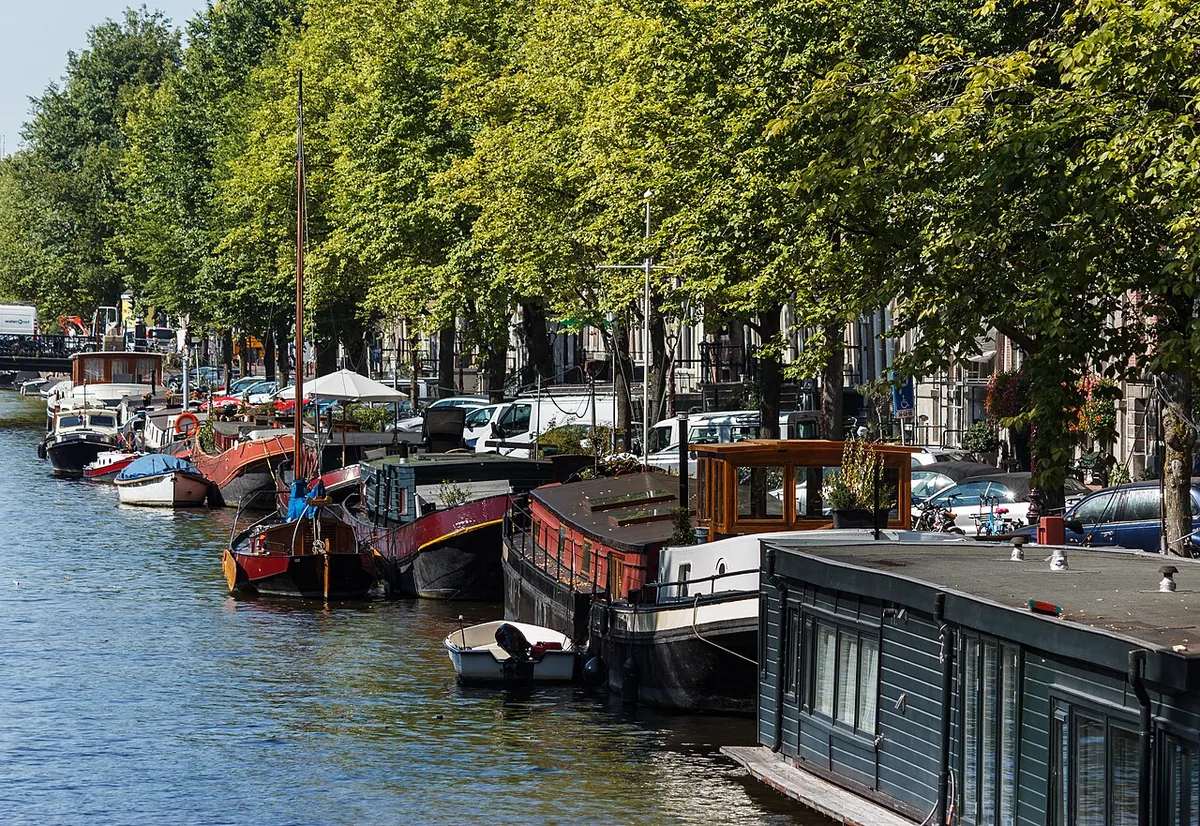
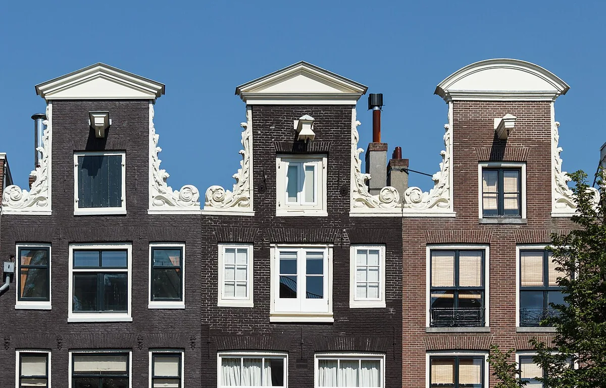
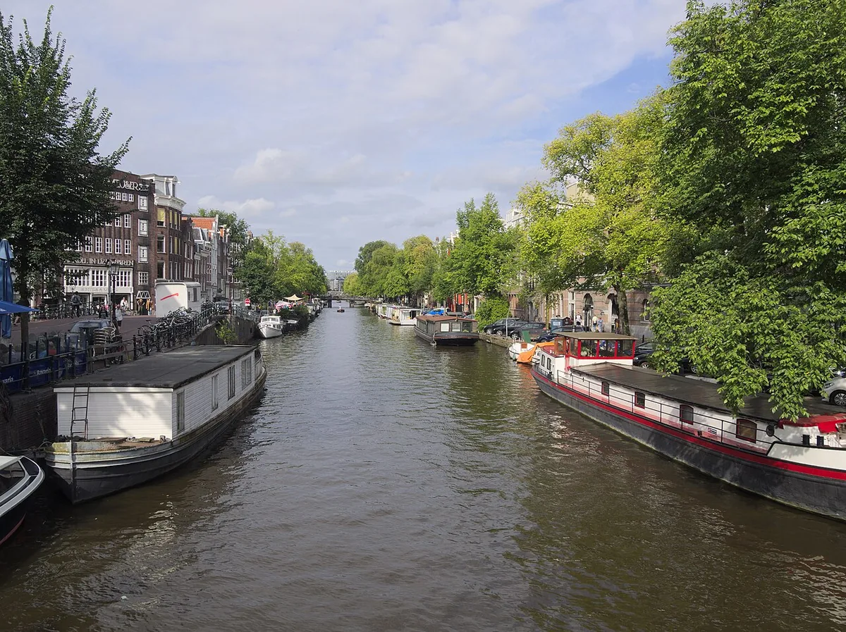
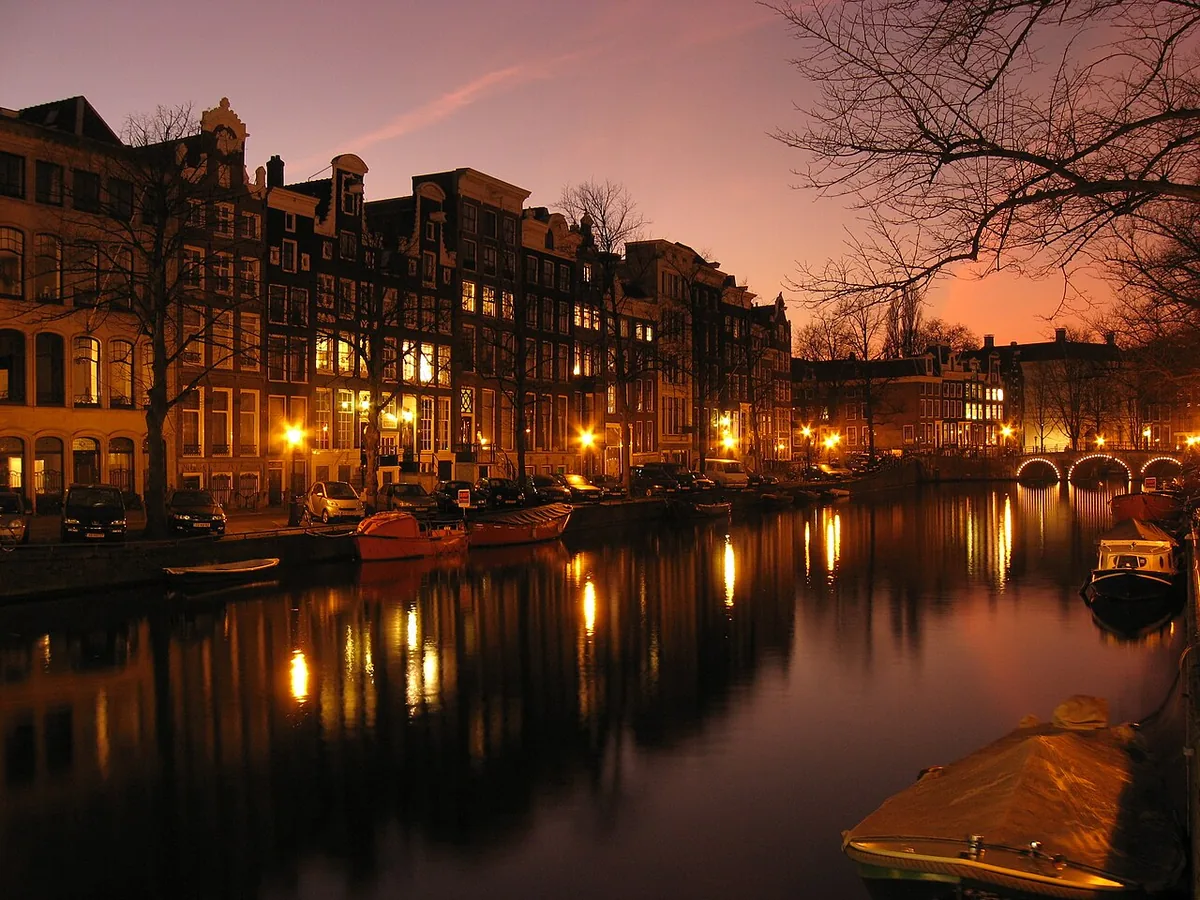
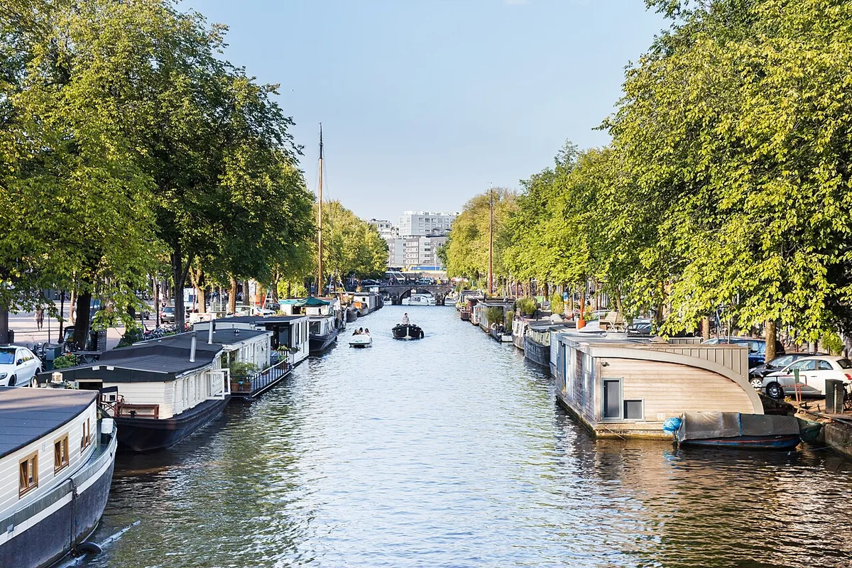
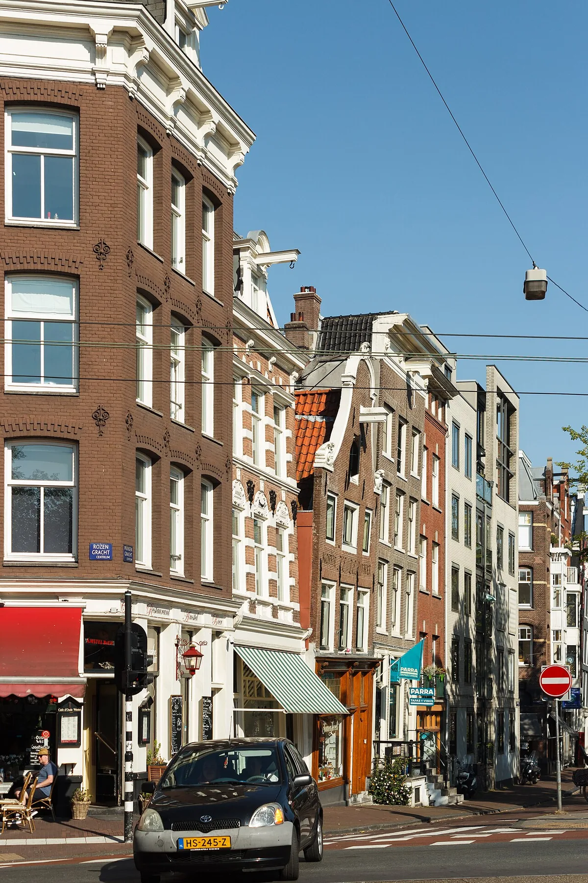
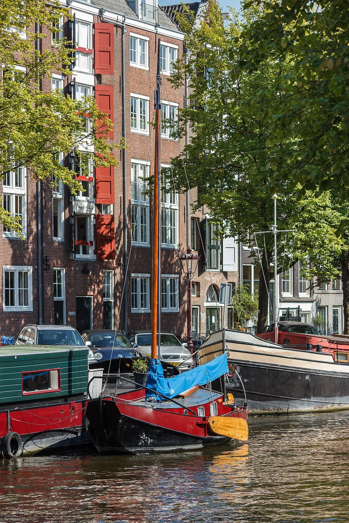
Prinsengracht, Amsterdam’s outermost principal canal on the west side of the Amstel, grew from a seventeenth-century city expansion into a working waterway lined with warehouses and homes. Its bridges and dense plots reveal how trade, transport, and everyday life shaped the canal belt.
Quick facts
Amsterdam’s municipal street record says Prinsengracht was dug and built up from Brouwersgracht to Leidsegracht during the 1612 enlargement; Grachtenmuseum dates the start of digging to 1614.
Prinsengracht’s name refers to the princely title of the House of Orange, according to Amsterdam’s municipal street record.
UNESCO records that wooden drawbridges over Prinsengracht allowed ships with raised masts to travel between the canal ring and the IJ.
Get directions to Prinsengracht. Confirm the visitor entrance and current access with the venue before travelling.
Audio guide
Listen to this place’s guide.
Guide
Prinsengracht is the westernmost of Amsterdam’s three principal semicircular canals. Its name means “Prince’s Canal,” referring to the princely title of the House of Orange. The waterway is more than a scenic line: it was planned as part of a major expansion that made room for a fast-growing city, and its buildings still show how that new space was divided and used.
Continue exploring
Discover the full story
Keep reading with a travel pass and explore every full guide and tour.
UpgradeMore places in Amsterdam
De Negen Straatjes
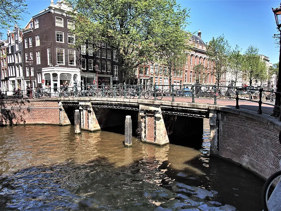
De Negen Straatjes is a named group of nine cross streets in Amsterdam’s canal belt, between the Singel, Herengracht, Keizersgracht and Prinsengracht. Their small plots once housed trades serving canal residents; today the historic street pattern frames a changing mix of shops, cafés and homes.
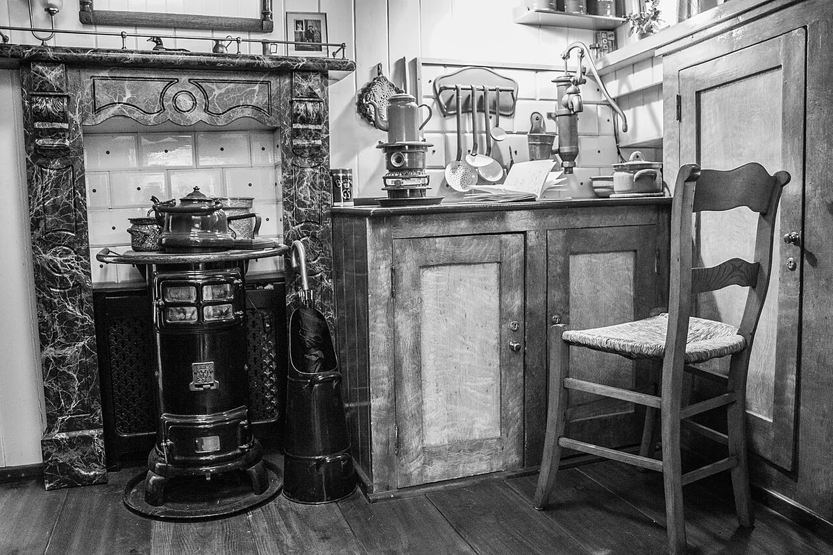
Houseboat Museum
A visit to the Houseboat Museum takes you aboard the Hendrika Maria, a 1914 cargo vessel moored on Amsterdam’s Prinsengracht. Its converted hold makes floating domestic life tangible, while the boat’s story opens onto a wider history of housing pressure, changing freight, and residents claiming spac
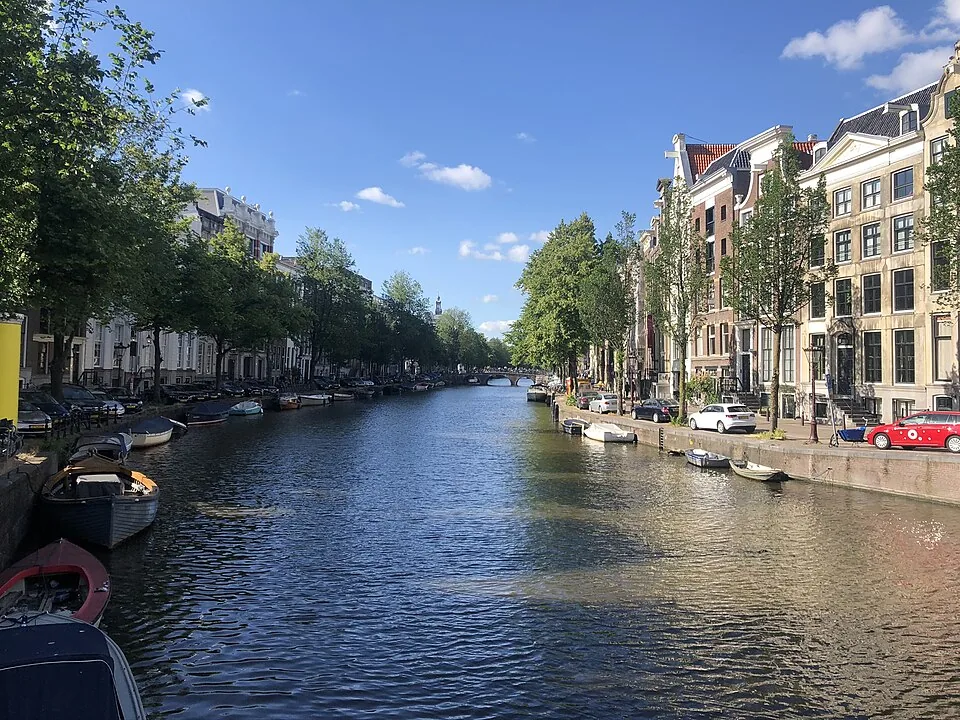
Keizersgracht
Keizersgracht is the middle canal of Amsterdam’s three principal seventeenth-century canal arcs. Begun in 1615 and extended in phases, it links the city’s water-management plan, merchant landscape and living historic centre.
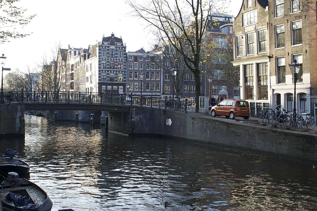
Canal Ring (Grachtengordel)
Amsterdam’s Grachtengordel is a seventeenth-century urban expansion built in stages around the older center. Read its canals, cross streets, bridges, and canal houses as one working city plan, while remembering that the UNESCO-listed area inside the Singelgracht is only a defined part of this broad
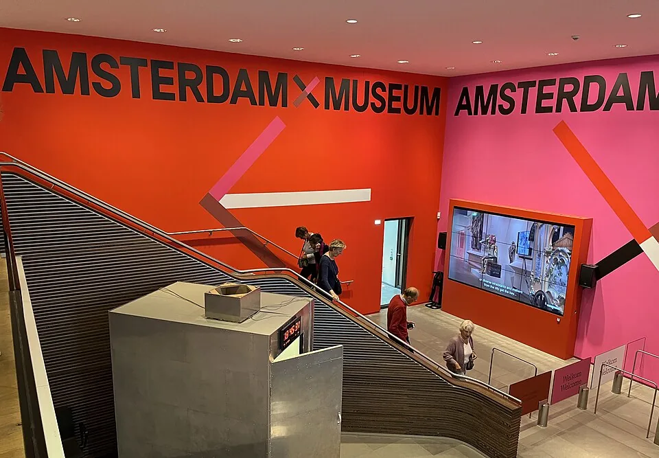
Amsterdam Museum
The Amsterdam Museum’s historic home occupies the former Burgerweeshuis, a centuries-old complex shaped by a convent, an orphanage and the city museum. Its courtyards and façades preserve that changing civic story; the Kalverstraat site is currently closed during renovation.
Begijnhof
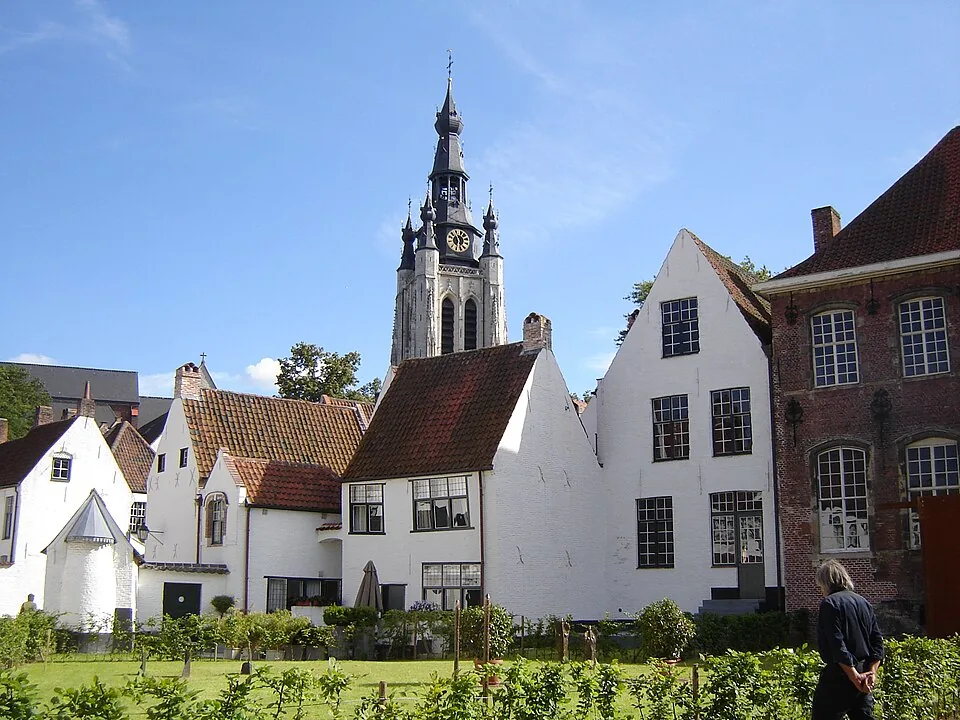
Amsterdam’s medieval Begijnhof was a community of Catholic laywomen who lived and worked together without being cloistered nuns. Its uneven courtyard, rare timber-framed Wooden House, former English church, and still-active Catholic chapel record centuries of changing worship and residential life.